

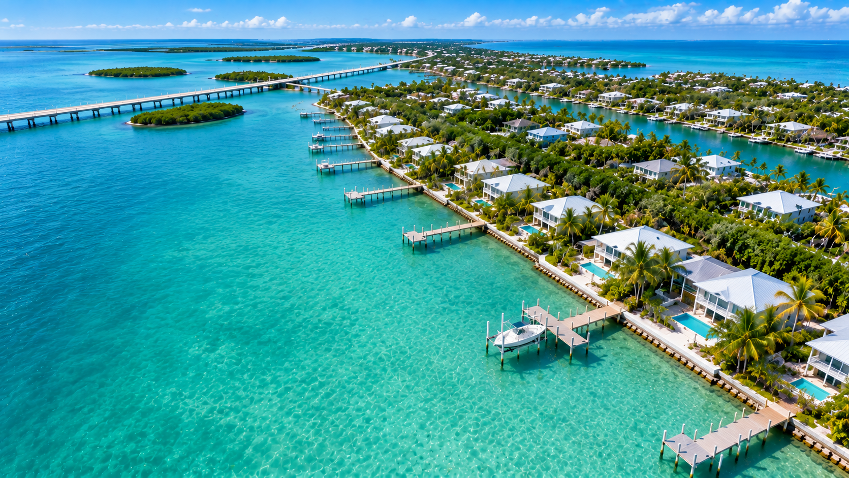
Permitting a waterfront project in the Florida Keys is not the same process as permitting the identical dock in Miami or Tampa. The Keys sit inside one of the most protected marine environments in the country, and every agency that reviews your project knows it. A proposed dock, seawall, or shoreline stabilization that would move through review elsewhere can take months longer here, or come back for substantial redesign.
The difference comes down to what lives underwater. The clarity of Keys water is precisely what makes the permitting so demanding, because agencies can see, and are legally required to protect, every seagrass blade, stony coral colony, and patch reef in your project footprint.
What Permits Do You Need for a Florida Keys Waterfront Project?
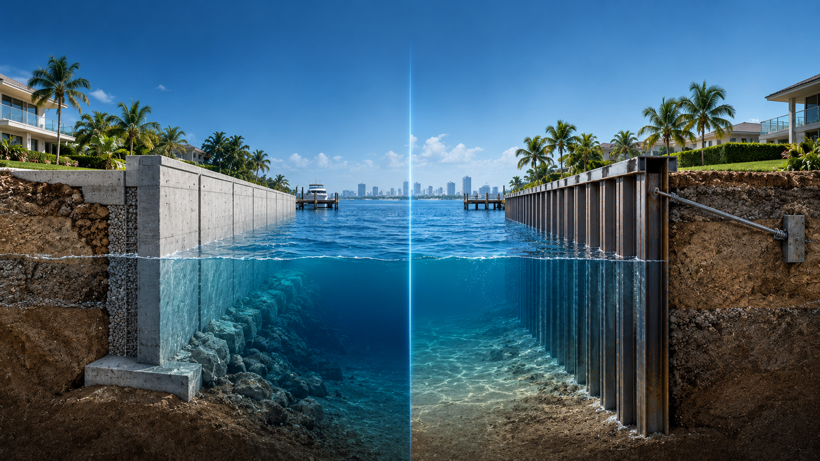
| Project | Potential approvals / reviews |
| Dock | Monroe County, FDEP, USACE and potentially sanctuary review |
| Seawall | Monroe County, FDEP, USACE depending on location and scope |
| Boat lift | Local and state requirements depending on installation |
| Shoreline stabilization | Environmental and regulatory review based on proposed method |
| Dredging | Additional environmental and federal review |
| Coral relocation | Biological assessment and agency requirements where applicable |
Why the Keys Are Held to a Higher Standard
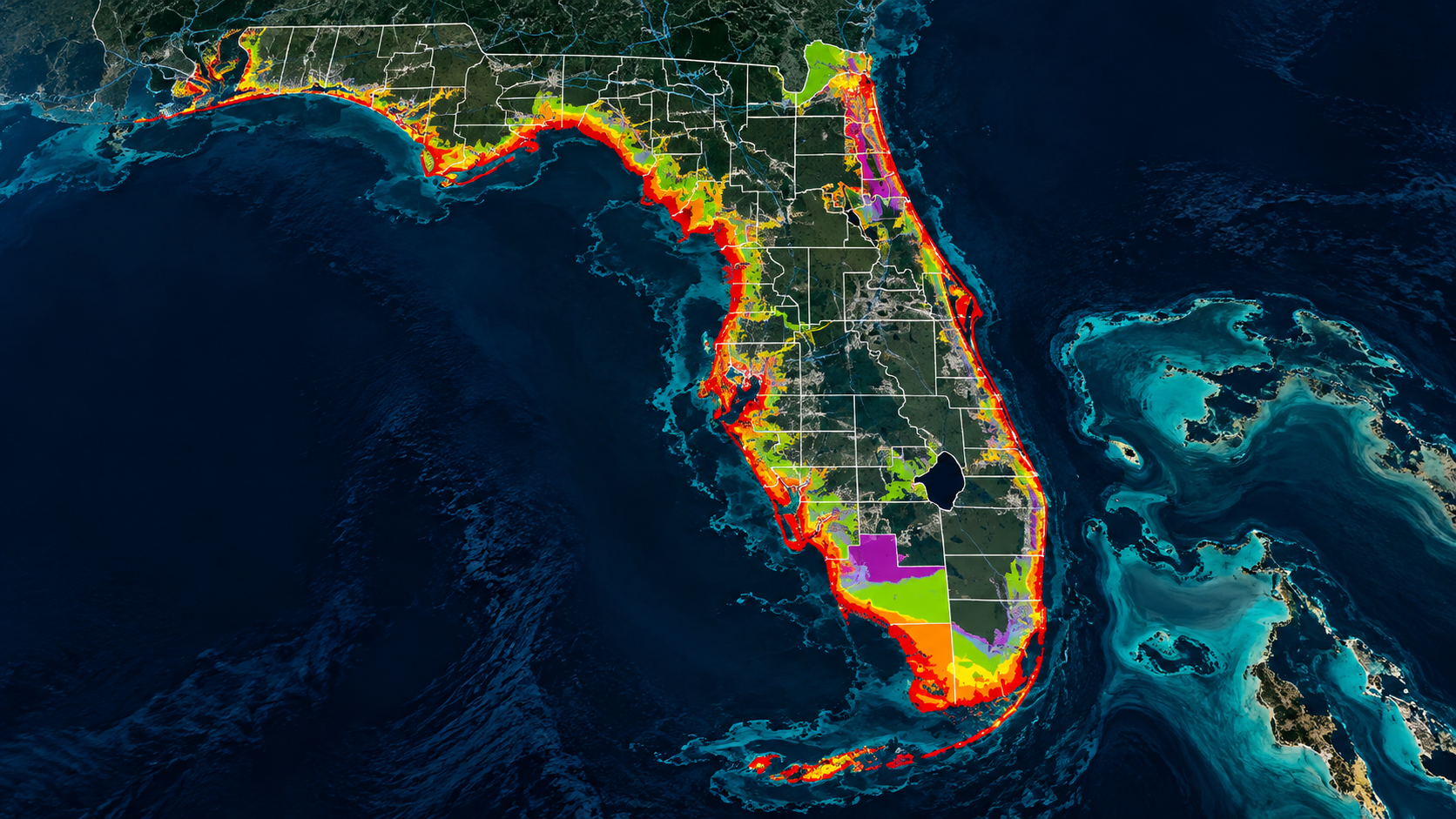
The Florida Keys National Marine Sanctuary covers roughly 2,900 square nautical miles of state and federal waters, wrapping coral reefs, seagrass meadows, and mangrove shorelines into one protected system. Projects inside sanctuary waters are reviewed not only for direct impacts but for how they change water quality, sedimentation, and marine life across a wider area.
On top of that sits Monroe County’s land development regulations, which carry their own shoreline setbacks, dock size limits, and habitat protections. Layer the state and federal systems over those local rules and a single residential dock can answer to three separate authorities.
The Agencies That Review Keys Projects
Florida’s marine permitting system funnels most projects through a few key offices. The Florida Department of Environmental Protection manages state approvals and submerged lands authorizations, the US Army Corps of Engineers handles federal review of work in navigable waters, and the Florida Fish and Wildlife Conservation Commission weighs in on protected species habitat. Together they form Florida’s big three permitting agencies.
In the Keys, add two more voices. NOAA and the sanctuary office review projects inside sanctuary boundaries, and Monroe County applies its own environmental code. Any one of them can stop a project, so permit strategy in the Keys is built around satisfying all of them at once, not winning one office over at a time.
The Surveys That Decide Your Permit
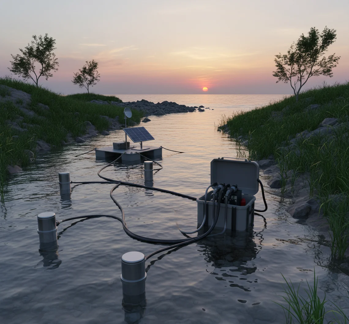
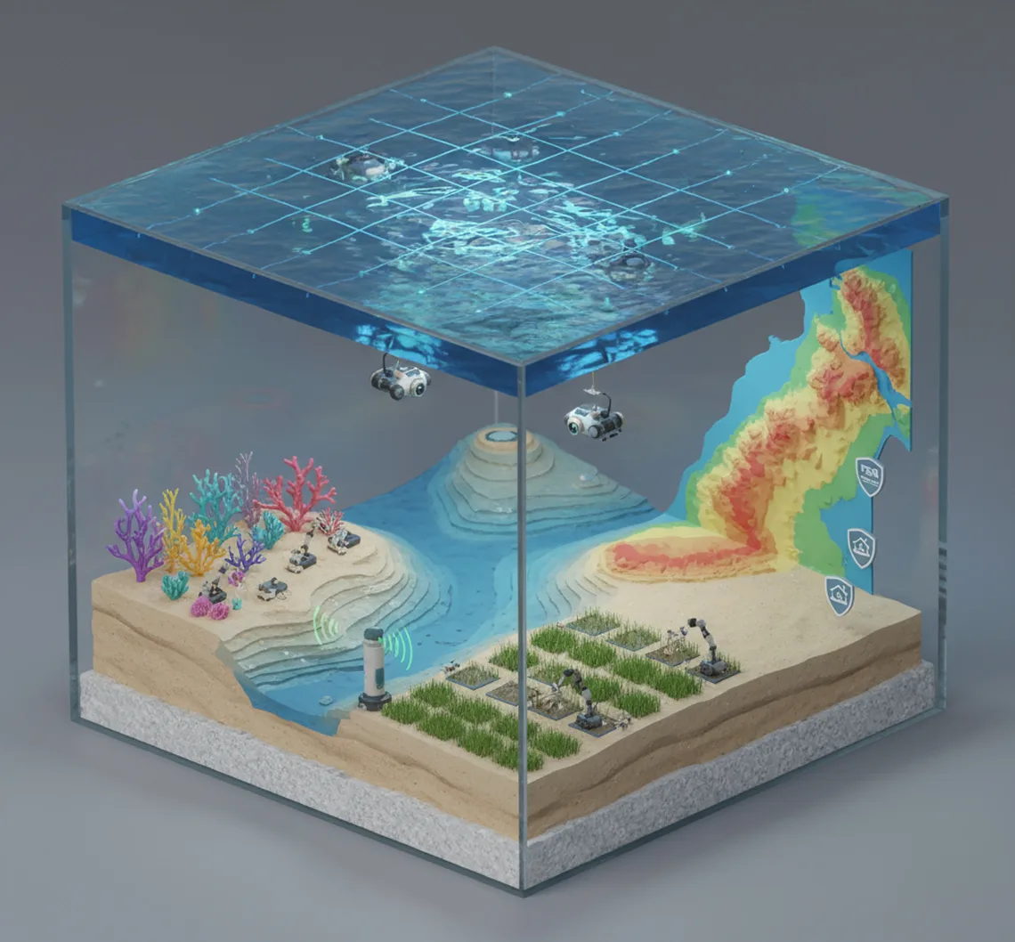
Keys permits are won or lost on field data. Agencies will not take your word about what lives on your shoreline, they want it documented. That means benthic habitat maps showing the exact distribution of seagrass, hardbottom, and coral within and around your proposed footprint, completed to agency standards. A benthic habitat map guide for Florida marine permits explains how these surveys are built and why the detail matters so much in sanctuary waters.
Survey timing matters just as much as survey quality. Some assessments must be done in specific seasons, and if the window closes, the project waits until next year. Starting field work early, before design is finalized, is the single most reliable way to keep a Keys project on schedule.
Coral and Seagrass Drive the Critical Path
When your footprint contains listed corals, the permitting math changes. Relocation work requires its own methodology, agency approval, qualified biologists, and recipient sites, which is why coral relocation timelines often stretch into months. Seagrass is treated almost as strictly, with mitigation required when impacts cannot be avoided.
The result is that projects in the Keys budget for biology, not just concrete. A seawall replacement may include a coral survey, a seagrass assessment, a turbidity plan, and a relocation plan before the first pile is ever ordered. None of it is optional, and all of it shapes the design.
Timeline Realities and Seasonal Windows
A straightforward dock permit in the Keys realistically runs 9 to 18 months from first survey to final approval, and more complex projects take longer. Seasonal restrictions add to the calendar. Sea turtle nesting, stony coral spawning, and winter water temperature windows can all pause parts of the work. Add a hurricane to the mix, since storm recovery strains the same agency staff you need for your permit, and patience becomes part of the plan.
How to Keep Your Keys Permit Moving
The projects that move fastest share one trait: the application is technically complete before it reaches the agencies. Reviewing your own file against a waterfront environmental permits checklist catches the missing survey data and incomplete impact analyses that cause review clocks to reset.
Working with consultants who know the Keys specifically also helps, and this is where Ocean Consulting’s two decades of Keys work comes in. Experience with sanctuary requirements, Monroe County code, and the survey standards the agencies expect translates directly into fewer rounds of comments and a shorter calendar.
Conclusion
The Florida Keys protect some of the most valuable marine habitat in the world, and the permitting system exists to keep it that way. For property owners, that means more surveys, more agencies, and more lead time than anywhere else in Florida.
None of it needs to be a mystery. Ocean Consulting has guided waterfront owners through Keys permitting for over 20 years, from benthic surveys through agency coordination to final approvals. Bring us your project early, and the process stays predictable from first survey to last signature.