


When you propose construction along Florida’s coastlines, waterways, or offshore zones, regulatory agencies require detailed documentation of the underwater environment before any permits are issued. One of the most critical documents in this process is a benthic habitat map. Understanding what it is and how it functions within the marine permitting process can save you months of delays and significant compliance costs.
What Is a Benthic Habitat Map?
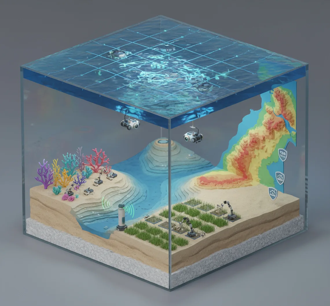
A benthic habitat map is a detailed representation of the seafloor environment that documents both the physical characteristics of the substrate and the biological communities that inhabit it. The term “benthic” refers to organisms and environments living on or in the bottom of a body of water, from shallow coastal flats to deep marine zones.
These maps capture the spatial distribution of seafloor features, habitat types, and ecological communities across a project area. Unlike simple nautical charts that show water depth and navigational hazards, a benthic habitat map provides ecological context. It identifies where seagrass beds grow, where coral colonies exist, where sponge communities cluster, and where bare sand or rocky substrate dominates.
A benthic habitat map typically includes substrate type (sand, mud, rock, coral), biological cover percentages, species presence and density, habitat boundaries, and sensitivity classifications. This data forms the ecological baseline against which project impacts are measured during the permitting process.
Why Marine Permitting Requires Benthic Habitat Maps
Marine permitting in Florida operates within a complex framework of federal and state regulations designed to protect water quality, submerged lands, and marine ecological resources. The benthic habitat map serves as the foundational document that connects your project design to these regulatory requirements.
Clean Water Act Section 404 and 401
The federal Clean Water Act establishes the primary framework for regulating discharges of fill material into waters of the United States. Under Section 404, any project that places dredged or fill material into navigable waters requires a permit from the U.S. Army Corps of Engineers. Section 401 requires water quality certification from the state.
Florida Department of Environmental Protection Requirements
The Florida Department of Environmental Protection administers the state’s Submerged Lands Program and issues environmental resource permits for activities affecting Florida’s coastal and inland waters. FDEP requires benthic habitat assessments for projects in marine and estuarine environments, particularly those involving dock construction, seawall installation, dredging, and marina development.
U.S. Army Corps of Engineers Permit Reviews
The U.S. Army Corps of Engineers reviews permit applications for marine construction throughout Florida. During the review process, Corps staff evaluate benthic habitat maps to determine the environmental impact of proposed projects. The habitat data informs the public interest review, helps identify conditions that will protect aquatic resources, and supports compliance with the Coral Reef Conservation Act for projects near sensitive reef systems.
Common Marine Projects Requiring Benthic Habitat Assessments
Benthic habitat assessments are required across a wide range of marine construction and development activities. Understanding which project types trigger these requirements helps you plan ahead and budget for the necessary survey work.
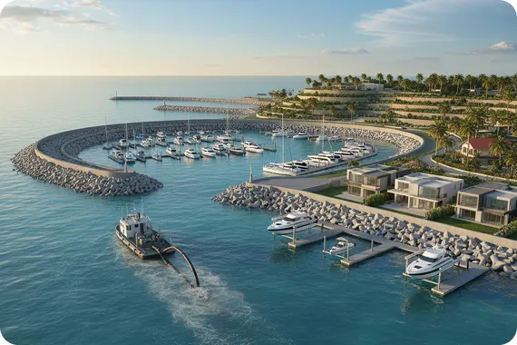
Dock and Marina Construction
Residential docks, commercial marina expansions, and boat facility developments all require benthic habitat assessments before permits are issued. These projects affect submerged areas that may support seagrass beds, coral communities, or other protected habitats. FDEP and the U.S. Army Corps of Engineers both require habitat mapping for dock and marina applications.
Seawall and Shoreline Stabilization
Shoreline stabilization projects involving new seawalls, riprap placement, or revetment construction must include benthic habitat documentation for the affected waterfront zones. These projects often impact nearshore benthic communities that occupy the shallow subtidal zone immediately offshore of the proposed structure.
Channel Dredging and Maintenance
Dredging projects remove sediment from navigation channels, berthing areas, and marina basins. Because dredging directly removes or disturbs benthic substrate, regulators require detailed habitat mapping to assess the ecological impact of excavation activities.
How to Use a Benthic Habitat Map in Your Permit Application
Having a benthic habitat map is only the first step. You must know how to integrate this information effectively into your permit application to support approval and minimize compliance issues.
Identifying Regulated Habitats Early
Review your benthic habitat map to identify any habitat types that trigger heightened regulatory scrutiny under applicable federal and state laws. Seagrass beds, coral communities, and other sensitive habitats often receive special protection under environmental regulations. Identifying these habitats early in the planning process gives you time to adjust your project design, explore alternative sites, or prepare the mitigation documentation that regulatory agencies will require.
Demonstrating Impact Minimization
Regulatory agencies expect applicants to demonstrate that they have taken all reasonable steps to minimize impacts to waters of the United States and protected habitat areas. Prepare impact analysis graphics that overlay your project footprint on the habitat map, clearly showing which habitat types will be affected by each project component. Document any design modifications you made to avoid or reduce impacts to sensitive areas.
Supporting Mitigation Proposals
When impacts to protected habitats cannot be avoided, you will need to propose mitigation measures that offset the ecological losses resulting from your project. Your benthic habitat map provides the baseline condition documentation needed to calculate mitigation requirements and design compensatory habitat restoration or creation projects.
Facilitating Agency Review and Approval
Complete and accurate benthic habitat maps streamline the regulatory review process by providing all the habitat information agency staff need to evaluate your application. Incomplete or inadequate habitat assessments often trigger requests for additional information, delaying permit decisions and extending the timeline for your project.
Key Habitat Types Documented in Assessments
Understanding which habitat types receive regulatory attention helps you interpret your benthic habitat map and anticipate permit conditions.
Seagrass Beds
Seagrass beds are among the most ecologically significant and heavily regulated benthic habitats in Florida’s coastal waters. Species such as turtle grass (Thalassia testudinum) and manatee grass (Syringodium filiforme) provide critical nursery habitat for fisheries species, stabilize sediments, and improve water quality. Any project impacting seagrass beds will face mitigation requirements and may be subject to additional permit conditions designed to minimize temporal losses of habitat function.
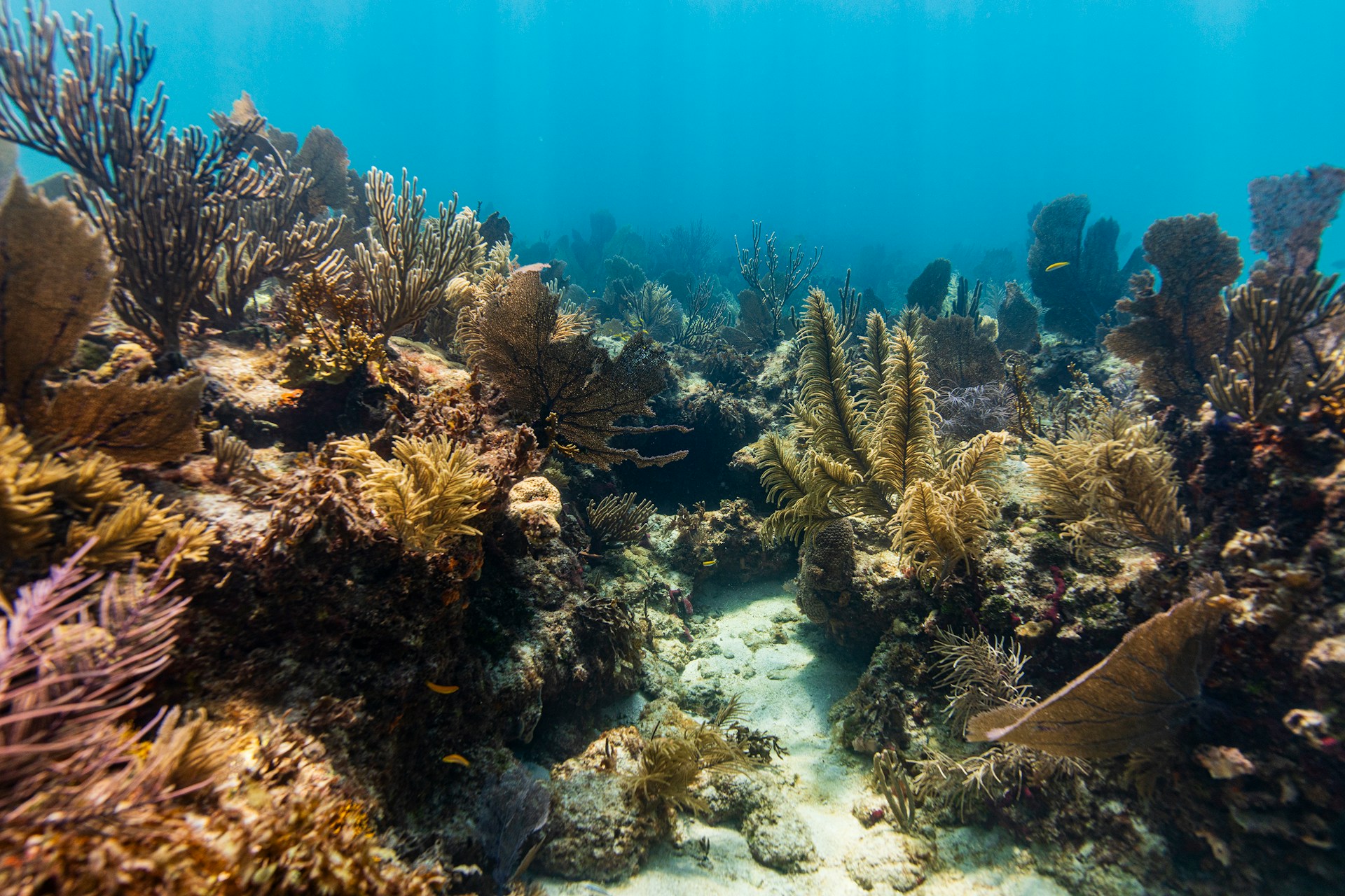
Coral Communities
Coral communities support extraordinary biodiversity and are protected under multiple federal and state statutes. Both stony corals and soft corals receive regulatory consideration in marine permitting. Projects that may affect coral habitats must include detailed assessments of coral species, colony sizes, and overall reef community health.
Hardbottom and Rocky Substrate
Hardbottom areas and rocky substrate provide attachment surfaces for sponges, sea fans, and various invertebrate communities. While less ecologically complex than coral reefs, hardbottom habitats still receive regulatory consideration and may trigger permit conditions for projects that disturb these areas.
Conclusion
Benthic habitat mapping serves as a critical tool in the marine permitting process, providing the scientific foundation for regulatory decisions about proposed construction activities in Florida’s coastal and marine waters.
If your project involves marine construction in Florida’s coastal waters, contact Ocean Consulting LLC to discuss your benthic habitat assessment needs.