


If you are planning a coastal development project in Florida, one of the first technical questions you will face is whether you need a bathymetric survey, a topographic survey, or both. Choosing the wrong survey can delay permitting, increase costs, and create problems during design or construction. This guide explains the difference, when each survey is required, and how Florida coastal projects often need both.
Topographic Survey: When the Ground Is Dry
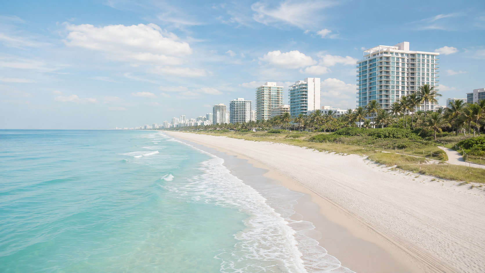
A topographic survey captures surface features such as roads, buildings, trees, utility lines, and contours of elevation. For coastal projects, the landward portion is surveyed up to a specific boundary, typically the mean high water line (MHW) in Florida.
Typical Uses for Topographic Surveys
- Site planning for upland construction (homes, commercial buildings, parking lots)
- Drainage and stormwater design
- Volumetric calculations for earthwork or fill
- Boundary and easement identification
- Baseline mapping for coastal structures (seawalls, dunes, revetments)
Regulatory Context in Florida
The Florida Department of Environmental Protection (FDEP) and local water management districts require topographic data for sovereign submerged lands applications, environmental resource permits (ERP), and coastal construction control line (CCCL) permits.
Bathymetric Survey: When the Ground Is Wet
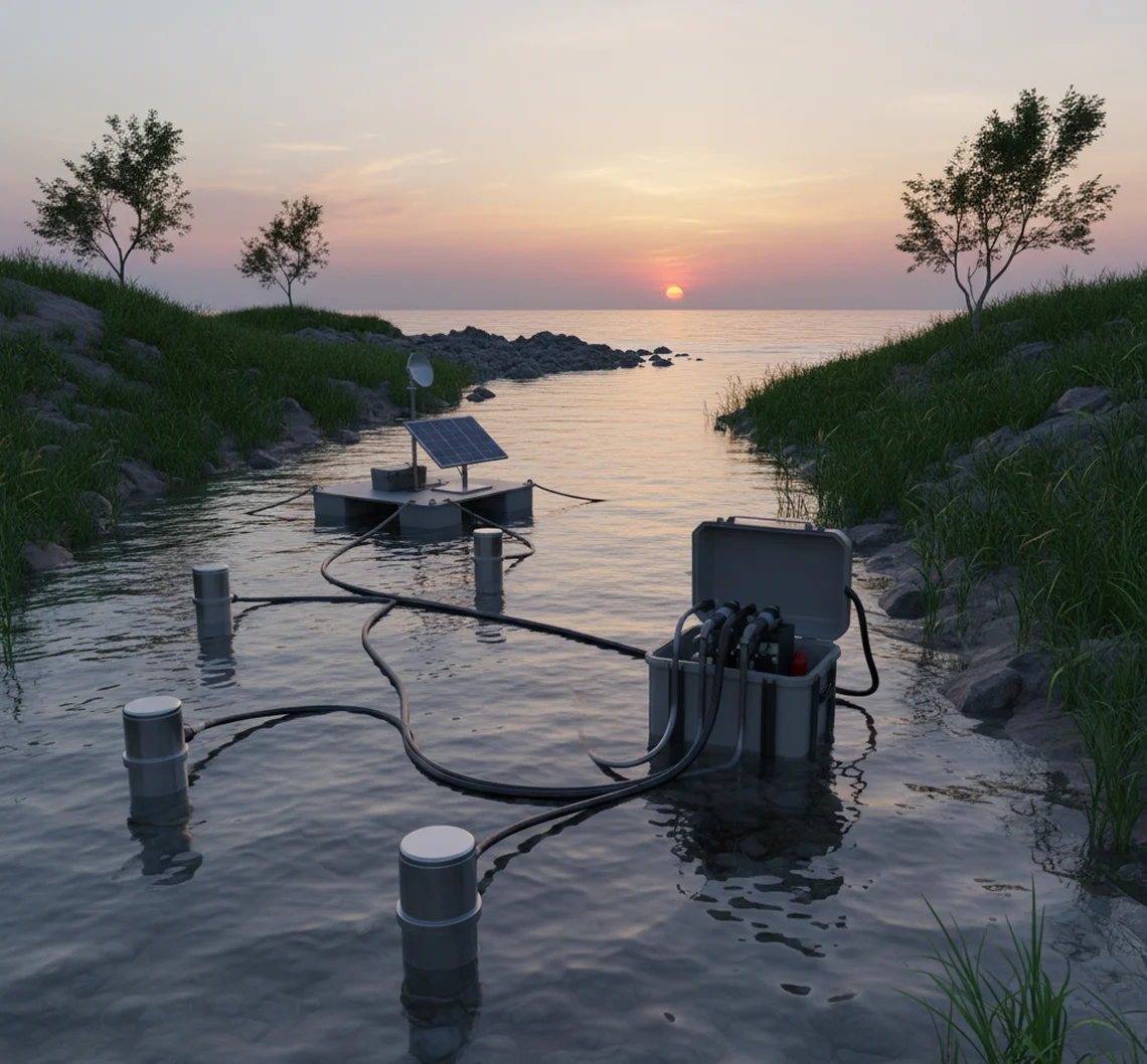
A bathymetric survey measures underwater depth and bottom contours. In Florida, this means mapping the seabed of the Atlantic Ocean, Gulf of Mexico, bays, inlets, rivers, and lakes. The survey uses sonar (single beam or multibeam) or lidar, and the data is referenced to a known tide datum such as mean low water (MLW) or mean lower low water (MLLW) for navigational projects.
Typical Uses for Bathymetric Surveys
- Dredging design and volume calculations
- Beach nourishment and renourishment projects
- Channel and navigation maintenance
- Submarine cable or pipeline routing
- Seawall toe depth and scour analysis
- Environmental baseline for seagrass and benthic habitat
- Bridge and dock construction over water
Why Bathymetric Surveys Are Critical in Florida
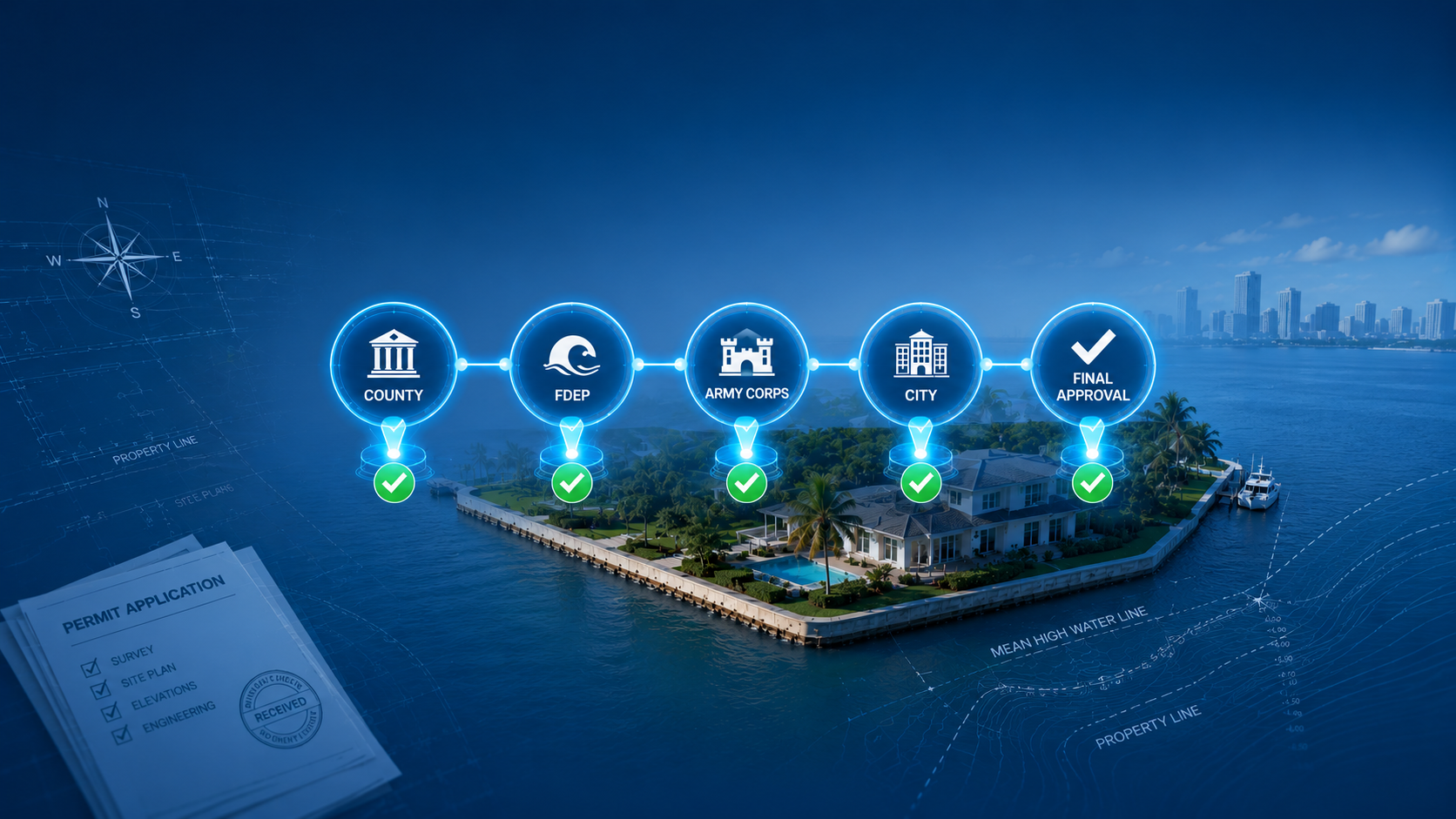
Florida has over 1,300 miles of coastline and extensive inland waterways. The state regulates virtually all work below the mean high water line. The FDEP and the US Army Corps of Engineers require accurate depth data before they issue permits for dredging, dock construction, or any structure that impacts submerged lands.
When You Might Need a Combined Survey
The most common mistake is thinking you need only one survey. If your project crosses the shoreline, you almost always need both.
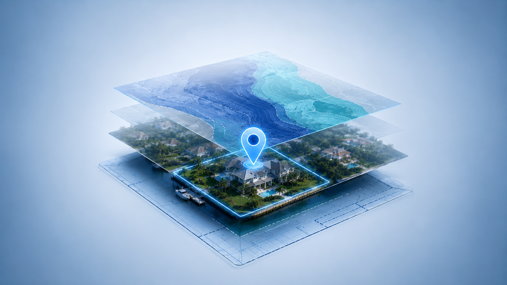
Consider a beach restoration project. You need topographic data for the dry beach, dune, and upland access areas. You also need bathymetric data for the nearshore, the borrow area offshore, and the entire placement zone. The two surveys must be merged at a seamless vertical datum to calculate exact volumes.
Similarly, a dock or pier requires both: topographic survey for the landside approach and the dock structure above water, and bathymetric survey to verify water depth at the dock face, check for hard bottom or seagrass, and confirm the channel depth.
Florida Specific Factors That Influence Your Choice
Understanding these factors upfront helps define the correct survey scope before you submit plans for approval.
Waterfront Property
If you own canal front, lakefront, or oceanfront land in Florida, you almost always need both surveys. A topographic survey covers your yard and structures. A bathymetric survey covers the submerged portion of your property up to the state owned sovereign lands (usually the mean high water line or ordinary high water mark).
For example, building a seawall requires a topographic survey to set the wall alignment on land and a bathymetric survey to confirm the bottom depth for toe protection and scour analysis.
Docks and Piers
Florida’s Department of Environmental Protection (FDEP) and local Water Management Districts require a bathymetric survey for any dock application. The survey must show water depths along the proposed dock route, existing vegetation (especially seagrass), and depth at the end of the dock for boat access.
Without an accurate bathymetric survey, your permit can be rejected for insufficient data on fish habitat or navigation clearance.
Canals and Lakes
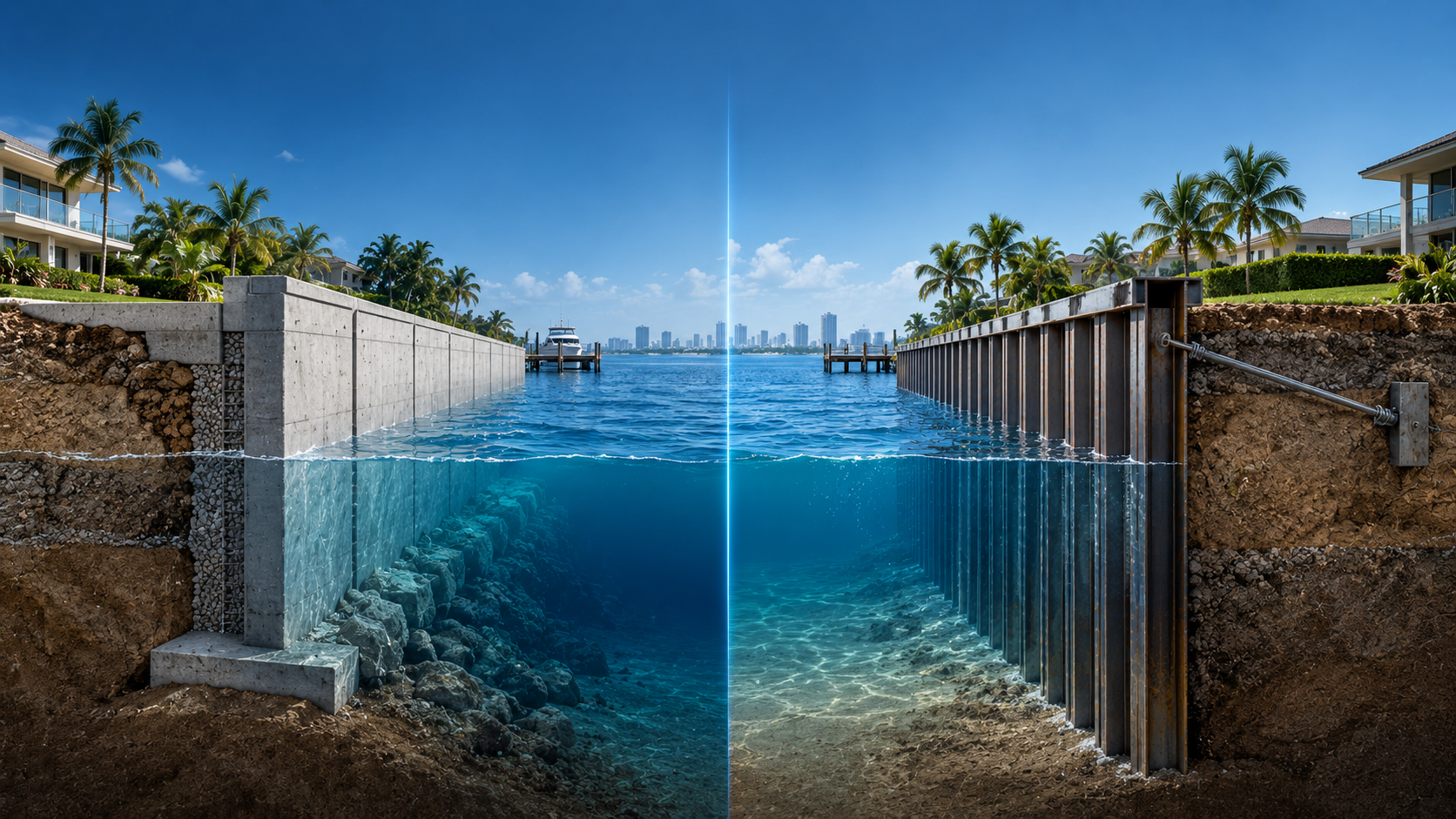
Many Florida communities have man made canals with concrete or sheet pile seawalls. Over time, silt accumulates, reducing depth. If you plan to dredge, a bathymetric survey is mandatory to calculate the volume of material to remove and to prove you will not disturb protected habitats.
Coastal Construction
Projects on the Atlantic or Gulf coast face additional scrutiny from the Florida Department of Environmental Protection’s Coastal Construction Control Line (CCCL) program. A topographic survey establishes dune elevation and upland features. A bathymetric survey defines the nearshore slope and sand bar locations, which affect wave energy and erosion.
Flood Zones and Elevation Certificates
In Florida, flood insurance is often required. A topographic survey provides the base flood elevation and lowest floor elevation. For properties with a boat slip or dock, the bathymetric survey may be referenced to the same vertical datum to ensure the bottom elevation is not causing water backup.
The Federal Emergency Management Agency (FEMA) and local floodplain managers accept topographic data for land, but they require bathymetric data for any portion of the structure over water.
How to Decide Which One You Need
Ask three questions:
- Does any part of my project touch water? If yes, start with a bathymetric survey for the water portion.
- Is the land portion purely dry? Then a topographic survey is sufficient.
- Am I applying for a permit that requires both? For seawalls, docks, and marinas the answer is usually yes.
- Do I need elevation data for flood insurance? Topographic survey only.
- Is my property in a coastal high hazard area (V zone)? Both surveys are typically needed to support the building design.
The Bottom Line
For the majority of Florida property owners, the answer is not either/or. It is often both. If your land is entirely upland with no water access, a topographic survey is enough. If you have a waterfront lot, a canal home, or a lake property, plan for a bathymetric survey as well.
Before you order a survey, get clarity on what your permit actually requires. A wrong scope can cost weeks in delays and rework. Ocean Consulting reviews your project and defines exactly what data agencies expect, so you submit once and move forward without setbacks.