


FEMA flood maps are essential for waterfront construction in Florida. They shape design decisions, permitting, and insurance requirements. With coastal exposure, storm surge, and rising sea level, understanding these maps is critical for safe, compliant, and cost effective projects. This guide explains what FEMA maps show, how to read them in Florida, and what they mean for design and permitting.
For professional guidance on interpreting FEMA maps and designing compliant waterfront projects, consider working with a local expert. Ocean Consulting offers specialized services in floodplain analysis, permitting, and resilient design.
What FEMA Maps Tell You and What They Do Not Tell You
FEMA flood maps define regulatory flood risk boundaries used for insurance, permitting, and baseline design decisions. However, they do not reflect real time site conditions or future coastal change, which means additional local analysis is often required for accurate project planning.
Purpose of FEMA maps
FEMA flood maps, known formally as Flood Insurance Rate Maps (FIRMs), identify flood risk areas, categorize flood zones, and set building and insurance requirements under the National Flood Insurance Program (NFIP). They are used by governments, lenders, and property owners to make informed decisions about construction and insurance.
The maps are based on hydrologic and hydraulic modeling, using USGS elevation data and LiDAR topographic mapping for coastal flood analysis in Florida.
Key outputs you will encounter
Maps show flood zone designations such as A, AE, VE, and X. They also show Base Flood Elevations (BFEs) referenced to the NAVD88 datum in Florida, floodways, and the extent of Special Flood Hazard Areas (SFHAs).
These elements directly affect building height and foundation type. A FIRM panel number lookup helps locate specific parcels and verify the map effective date for the project site.
Important limitations
Maps reflect historical data and model assumptions at a specific point in time. Flood risk changes with storms, sea level rise, and new development. The FEMA flood map revision cycle means boundaries and BFEs can shift with each update. Always verify with the latest FEMA data and local authorities.
A site survey to verify flood zone determination accuracy is often necessary because map boundaries can have discrepancies at the parcel level.
Florida Specific Context You Should Know
Florida’s coastal environment introduces factors such as storm surge, erosion, and sea level rise that extend beyond standard FEMA mapping assumptions. Local data sources and state level guidance are often necessary to understand the true flood exposure of a site.
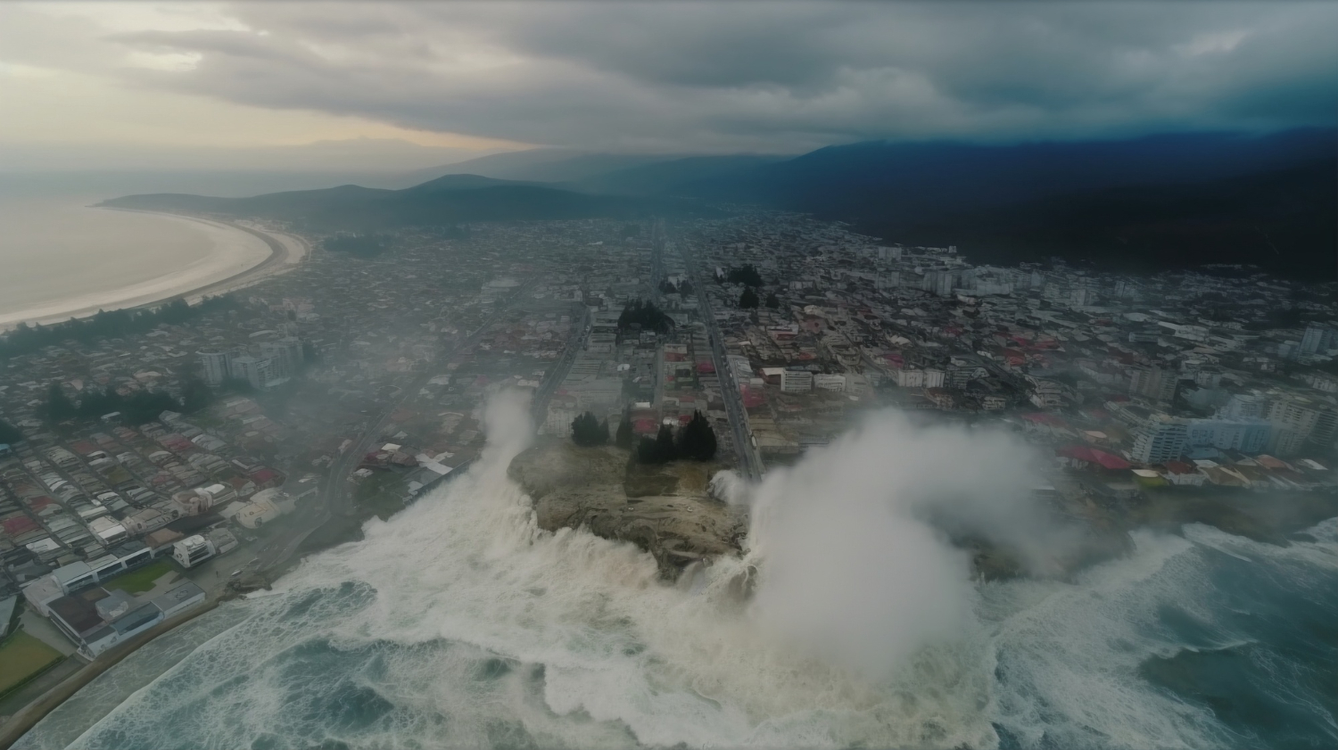
Coastal vulnerability and sea level rise – Florida’s waterfront properties face storm surge, high winds, tidal fluctuations, and erosion. FEMA maps must be used alongside coastal specific data such as NOAA storm surge modeling integration and erosion rates. Storm surge elevation mapping for Florida coastal counties often shows higher risk than FEMA flood zones alone, especially where tidal flooding interacts with FEMA flood zone designations.
FEMA flood mapping limitations regarding sea level rise means projects should incorporate sea level rise allowances into elevation decisions, using local guidance rather than relying solely on current FEMA flood studies.
Local and state coordination – Floodplain administration involves the Local Floodplain Administrator, the Florida pision of Emergency Management, and city or county building departments. NFIP community participation requirements must be confirmed for each Florida county, as local floodplain ordinances can differ from the base federal standards. Check with local officials early in the design process.
How to Read FEMA Maps for Waterfront Sites in Florida
Reading FEMA maps correctly requires understanding flood zones, elevation benchmarks, and spatial boundaries that influence construction requirements. Each designation directly impacts how a site must be designed, elevated, and approved under local regulations.
Flood zone designations
The coastal high hazard area or VE zone is defined by wave velocity and primary frontal dune erosion risk. AE zones have a quantified BFE and coastal AE zone flood depth elevation modeling is used to set the stillwater elevation plus wave effects. A zones have an approximate flood boundary with no base flood elevation detail, requiring a more conservative design approach.
Unshaded X zones represent minimal flood hazard classification, while shaded X zones indicate moderate flood risk with localized drainage issues that still need attention during site design.
Base Flood Elevation (BFE)
The BFE is the assumed water level during a 1 percent annual chance flood (the base flood elevation exceedance probability). BFE variance across adjacent parcels can occur due to coastal slope effects; a survey grade elevation vs FEMA mapped elevation difference should be resolved with an elevation certificate verification for FEMA compliance.
The BFE drives foundation height and drainage planning. Finished floor elevation must be at or above the BFE, often plus freeboard.
Floodways
These indicate where floodwaters flow with little obstruction. Encroachment restrictions limit fill, structures, and site layout. Avoid placing obstructions in floodways.
Freeboard and coastal design:
Many Florida projects add extra height above BFE to account for uncertainties, storm surge, and sea level rise. The Florida Building Code may require one foot of freeboard, but some localities require two or three feet.
BFE plus freeboard calculation methodology follows local code and NFIP standards. In coastal areas, freeboard also serves as a safety margin against wave runup and erosion induced elevation loss over time.
Design Implications for Waterfront Construction in Florida
FEMA classifications translate directly into structural elevation, foundation type, and material selection for coastal buildings. These requirements shape how resilient a structure will be under flood, wave, and storm conditions in Florida’s waterfront areas.
Elevation and Foundations
Elevate living spaces and critical systems above BFE in SFHAs. Foundation elevation requirements for FEMA compliance design must account for flood load structural resistance in coastal buildings. VE zones require higher minimums and flood resistant design.
Pile supported structures are common because they allow floodwater to flow beneath. Storm resistant anchoring for pile foundation design is critical along the Florida coast due to wind and wave forces.
Flood Resistant Construction Practices
Use flood resistant and corrosion resistant materials below the design flood level. In VE zones, breakaway enclosure design must meet coastal building code requirements to fail under lateral wave force without damaging the main structure. Uplift forces and hydrostatic pressure during flood events impose specific demands on foundation connections.
Flood vent opening requirements for enclosed areas below BFE must comply with FEMA and code standards to allow water passage and prevent hydrostatic damage.
Utilities and Equipment
Relocate electrical, mechanical, and plumbing components above BFE. Elevate or waterproof exterior equipment like AC units and generators. Utility elevation clearance for floodplain compliance must account for flood depth plus wave action in coastal zones.
Site Design and Drainage
Grade the site for positive drainage away from structures. Use permeable surfaces where appropriate. Implement erosion and scour control through shoreline stabilization. Corrosion exposure zone for coastal construction materials selection should guide choices for all exterior components.
Coastal Structures and Features
Seawalls, bulkheads, and docks require permits demonstrating stability and scour protection. Piers and moorings must use corrosion resistant materials for marine environments.
Regulatory and Permitting Considerations
Permitting involves floodplain administration, coastal management, and building departments. A building permit flood zone determination letter from the local floodplain administrator is often required to confirm zone and BFE. The floodplain development review for FEMA compliance process includes submitting elevation documentation.
The FEMA substantial improvement determination process applies if renovations exceed 50 percent of the structure value. Coastal building permit FEMA consistency review may involve additional scrutiny of wave load and erosion protection.
Common Mistakes to Avoid
Underestimating BFE and neglecting freeboard, especially in VE zones or coastal areas. Designing below grade spaces in SFHAs where breakaway walls are needed. Failing to coordinate with local floodplain officials early, causing delays. Ignoring utility placement that can be compromised by flooding.
Overlooking long term coastal dynamics such as erosion and sea level rise. Relying on outdated FEMA flood hazard boundary map interpretations without verifying the current FEMA map effective date.
Conclusion
FEMA flood maps are a foundational tool for waterfront construction in Florida. They guide elevations, foundation choices, materials, and flood risk strategy. By understanding FEMA designations, coordinating with local authorities, and using flood resistant design, you can create resilient projects that meet regulations and perform well in flood events.
For site specific evaluation of flood zone transition areas, storm surge overlap, and elevation certificate verification, working with an experienced coastal engineering firm such as Ocean Consulting ensures compliance and long term performance.