


The design, construction and upkeep of structures placed along coastal areas and water routes depend on careful study and accurate field information. Projects that include marinas, coastal defenses, seawalls, and piers all require a clear understanding of seabed conditions, water depths and natural coastal movements before any planning work begins. This is where hydrographic surveying firms play a vital role. Their detailed measurements, mapping skills and knowledge of changing water conditions provide the base information that the coastal engineering team relies on during every stage of planning. Strong coordination with construction administration support also helps guide work from the planning phase through site activity, making sure each step follows the intended design and field requirements.
These surveys help identify risks, guide structural placement, support long-term safety planning, and reduce unexpected challenges during construction. By offering dependable data and consistent technical support, hydrographic survey companies help successful coastal engineering projects that remain safe, practical, and suitable for future needs.
Understanding Hydrographic Surveying
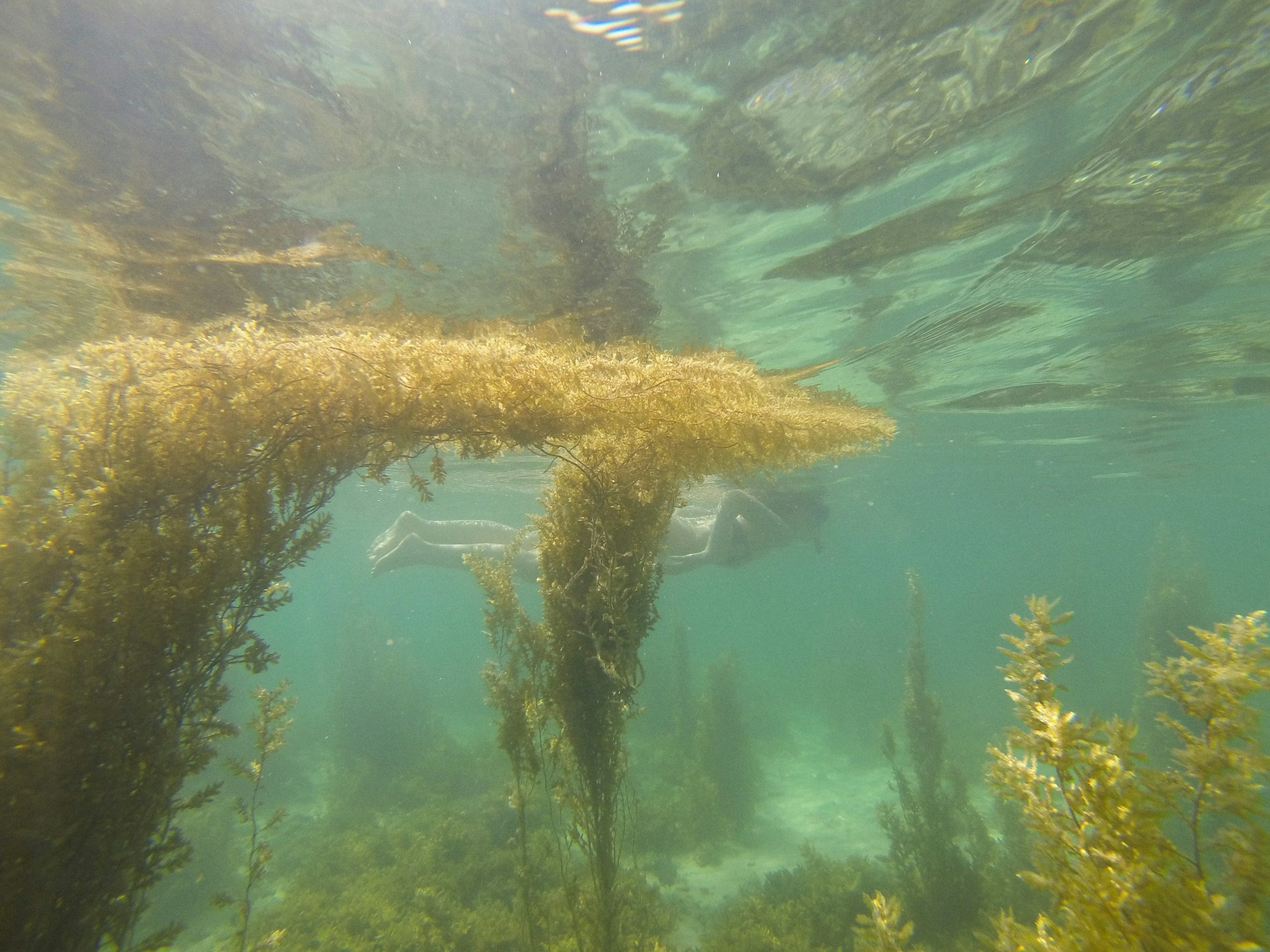
A hydrographic survey company uses cutting-edge technologies like GPS systems, LiDAR, side-scan sonar, and multibeam echo sounders to map underwater landscapes. These surveys gather information on sediment composition, underwater hazards, seabed topography, and water depth.
The data gathered from these surveys is essential for:
- Coastal structure design for long-term stability
- Avoiding mishaps and construction-related problems
- Reducing the impact on the environment
Simple depth measurement is only one aspect of hydrographic surveys. They aid engineers in comprehending how tidal patterns, sediment movement, and water currents affect the functionality of coastal structures.
Essential Services Offered by Hydrographic Survey Firms
Coastal areas in Florida shift over time as waves, tides and storms move sand and shape the ground beneath the surface. These changes affect the long-term stability of marinas, seawalls, piers, and other structures along the shore. Engineers rely on clear underwater information to understand how these movements affect project plans. Our previous post on Florida coastal engineering challenges explains the pressures that influence these conditions and adds helpful context for anyone reviewing survey results.
Numerous services provided by hydrographic survey firms directly support marine consulting and coastal engineering. Among the most important are:
1. Surveys of Bathymetry
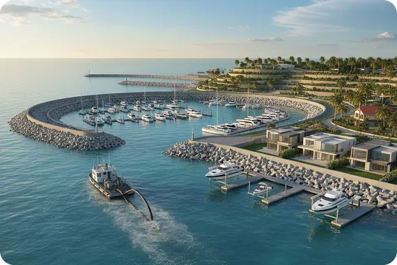
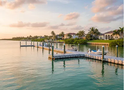
Detailed maps of the seafloor, including depth contours and underwater features, are produced by bathymetric surveys. This data is used by coastal engineering consultants to plan and design marinas, breakwaters, piers, and other structures. Proper bathymetry guarantees the safe and effective placement of structures.
2. Analysis of Erosion and Sediment Transport
Preventing erosion and sedimentation problems that could harm infrastructure requires an understanding of how sediment flows along the coast. Coastal engineering services use hydrographic surveys to evaluate sediment patterns and design protective features like groins or revetments.
3. Monitoring of the Environment
Environmental assessments are necessary for many coastal projects in order to meet regulations. Water quality studies, coral assessments, and habitat mapping are carried out by hydrographic survey companies. Marine surveyors and consultants can use these studies to pinpoint vulnerable areas and recommend countermeasures to save marine ecosystems.
4. Assistance with Dredging
Dredging is frequently required to keep waterways passable or to get construction sites ready. Hydrographic surveys determine the amount of material that needs to be removed and offer comprehensive instructions for dredging operations that are both safe and effective.
5. Consulting on the Coast
Companies that conduct hydrographic surveys frequently offer more comprehensive coastal consulting services, including risk management, project viability, and regulatory compliance advice. Their knowledge is crucial for guaranteeing that coastal engineering projects adhere to legal, technical, and environmental requirements.
Working Together with Consultants for Coastal Engineering
Accurate survey data is crucial for coastal engineering consultants. Designing coastal structures that are resistant to storms, tides, waves, and long-term erosion starts with hydrographic surveys.
How the Partnership Operates:
- The seabed and surrounding waters’ conditions are determined by survey data.
- Using this information, coastal engineers create structures that are suited to the particulars of each site.
- Marine consulting services offer guidance on regulatory requirements and environmental impacts.
- Constant observation guarantees that structures continue to be secure and functional over time.
Coastal engineers, marine surveyors & consultants, and hydrographic survey companies collaborate to develop sustainable solutions that strike a balance between environmental preservation and engineering requirements.
Advantages of Coastal Projects Using Data from Hydrographic Surveys
There are various benefits to using hydrographic survey data in coastal engineering projects.
Accurate Planning: By guaranteeing that infrastructure is positioned and designed correctly, accurate planning helps to prevent structural failures.
Cost-effectiveness: Lowers unforeseen expenses brought on by unanticipated underwater conditions
Environmental Protection: Encourages adherence to environmental laws and safeguards marine environments
Risk reduction: Before construction starts, hazards like sandbars, submerged rocks, and strong currents are identified.
Case Study: Ocean Consulting LLC
Ocean Consulting LLC provides an example of how combining coastal engineering services with hydrographic surveying results in successful project outcomes. They offer the following services:
- Bathymetric and Hydrographic Surveys: offering accurate underwater mapping to inform design choices.
- Coastal Engineering Projects: They include designing marinas, piers, seawalls, and methods for stabilizing the coast.
- Environmental Services: Monitoring initiatives to reduce ecological impact.
- Marine Consulting Services: Giving clients advice on safety, viability, and legal compliance.
Ocean Consulting guarantees that coastal projects are safe, effective, and ecologically conscious by fusing scientific research with real-world engineering knowledge.
The Way Forward
Companies that conduct hydrographic surveys are crucial collaborators in coastal engineering initiatives. They supply the precise underwater information required by engineers and consultants to create structures that are secure, useful, and environmentally friendly. These businesses support dredging, environmental monitoring, bathymetric mapping, and sediment analysis, among other aspects of coastal and marine engineering projects.
When you work with a reliable hydrographic survey company like Ocean Consulting LLC, you can be sure that your project will benefit from exact data, professional insights, and a team effort to create resilient coastal infrastructure. Connect with Ocean Consulting for broad surveying reports.