
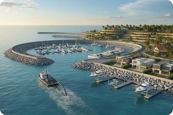


Marine construction, dredging, shoreline stabilization, and coastal development projects all depend on accurate underwater data. Conditions below the water surface cannot be evaluated through visual inspection alone. Depth variations, sediment movement, submerged utilities, and habitat boundaries require precise measurement. A professional marine survey provides that clarity. It delivers dependable bathymetric surveying data, underwater mapping, and technical documentation that support marine engineering, environmental compliance, and coastal planning.
For property owners, developers, engineers, and public agencies, understanding how a marine survey works and when to schedule one is essential for reducing risk and improving project efficiency.
What Is a Marine Survey
A marine survey is a structured technical process used to measure and map underwater and nearshore environments. Depending on the project scope, it may include hydrographic surveying, bathymetric mapping, habitat identification, or underwater structural inspection.
The primary objective is to produce accurate seabed models and verified site data that guide design decisions and regulatory approvals. This information becomes the foundation for marine construction planning and environmental review.
How the Marine Survey Process Works Step by Step
Understanding the marine survey process helps project owners and engineers prepare for accurate hydrographic and bathymetric mapping. Each phase plays a specific role in delivering reliable underwater data for marine construction and coastal development projects.
Step 1: Project Planning and Survey Design
Every successful marine survey begins with careful planning. Survey specialists define the project area, required accuracy, water depth conditions, and regulatory considerations.
For example, a dredging assessment demands precise depth calculations to determine sediment volume. A dock expansion may require marine habitat assessments to identify sensitive marine resources. Establishing these objectives before fieldwork ensures that the collected data meets engineering and permitting standards.
Step 2: Field Data Collection
During on-site operations, survey teams use specialized equipment mounted on survey vessels or aerial platforms.
Multibeam sonar systems measure water depth and generate detailed 3-dimensional seabed models. Side scan sonar provides acoustic imagery that identifies submerged objects, sediment patterns, and bottom features. High-precision positioning systems ensure that every data point is geographically accurate.
In shallow coastal areas, aerial drones may assist with shoreline mapping and nearshore data collection. Federal agencies such as the National Oceanic and Atmospheric Administration apply similar hydrographic surveying techniques to update nautical charts and monitor coastal conditions.
Step 3: Data Processing and Bathymetric Mapping
After field collection, raw data undergoes processing and quality control. Surveyors correct for tidal variation, vessel motion, and environmental factors. The refined dataset is converted into bathymetric contour maps, digital terrain models, and marine site plans.
These visual outputs allow engineers to assess seabed stability, calculate dredge volumes, identify obstructions, and verify safe construction zones. Accurate underwater mapping reduces design uncertainty and supports regulatory review.
Step 4: Reporting and Technical Documentation
The final deliverable includes certified survey drawings, digital mapping files, and a technical report explaining methodology and findings. These documents may be submitted with coastal permit applications or used to guide marine infrastructure development.
Clear documentation ensures transparency and strengthens communication between consultants, regulators, and project stakeholders.
When You Should Arrange a Marine Survey
Timing significantly affects project outcomes. Scheduling a marine survey early in the planning stage often prevents redesign costs and permitting delays.
Before beginning dock construction, marina development, dredging operations, or shoreline stabilization, a hydrographic survey confirms existing water depth and seabed conditions. This ensures that engineering plans are based on verified bathymetric data.
Marine surveys are also recommended during waterfront property transactions. Buyers can confirm navigational depth, identify submerged hazards, and assess underwater structures before completing a purchase.
After major storm events, underwater terrain may shift due to sediment displacement. A post-storm bathymetric survey helps identify shoaling, erosion, or structural damage that may not be visible from shore.
Ports and marinas benefit from periodic surveys to monitor sediment accumulation and maintain safe navigation channels.
The Role of Professional Marine Survey Services
Accurate marine surveying requires technical expertise, calibrated equipment, and regulatory awareness. Firms such as Ocean Consulting LLC combine hydrographic surveying, environmental mapping, and coastal consulting to support marine construction and coastal development projects throughout Florida.
Integrated marine survey services provide reliable seabed mapping, environmental data, and compliance support within a coordinated framework. This approach reduces project uncertainty while protecting sensitive coastal resources.
Conclusion
A marine survey is more than a technical formality. It is the foundation of informed marine construction planning, bathymetric analysis, and environmental compliance. From hydrographic surveying and underwater mapping to sediment evaluation and structural inspection, accurate marine survey data protects both infrastructure investment and coastal ecosystems.
Arranging a professional marine survey before construction, dredging, shoreline modification, or property acquisition ensures that decisions are based on precise depth measurements and verified seabed conditions. For any project involving coastal waters, engaging qualified marine survey services at the planning stage supports safety, regulatory approval, and project success.