Bathymetric Surveying &
Hydrographic Mapping
For coastal development projects, our accurate bathymetric surveying services are utilised to map underwater depths and contours.
Reliable Seafloor Mapping for Safer, Smarter Development
Understanding the underwater terrain is critical for successful project design and environmental protection. Bathymetric surveys reveal the physical characteristics of bay bottoms, channels, and nearshore areas, ensuring safe navigation, proper construction planning, and reduced environmental risks. Using advanced sonar technology and HYPACK navigational software, our team delivers accurate data essential for project planning, permitting, and design feasibility. With accurate data, developers and property owners can evaluate feasibility, streamline design, and avoid costly surprises during construction.
How Ocean Consulting Provides
Precise Bathymetric Information
Ocean Consulting provides accurate underwater mapping for coastal projects by combining cutting-edge technology with skilled field teams.

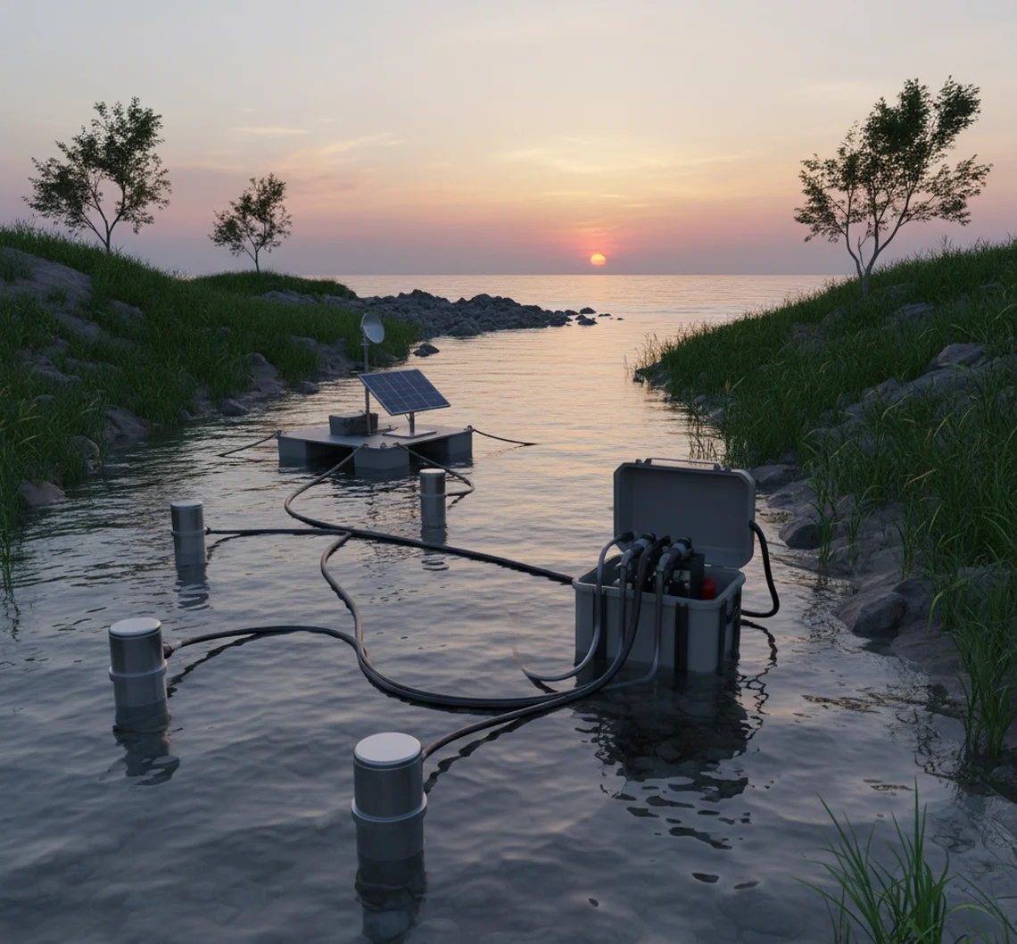
High-Resolution Sonar Surveys
We take detailed pictures of the underwater topography, from intricate bay systems to shallow nearshore regions, using single-beam and multi-beam sonar.

HYPACK Navigational Software
For hydrographic surveys, industry-standard software guarantees precise data collection, accurate positioning, and sophisticated analysis.

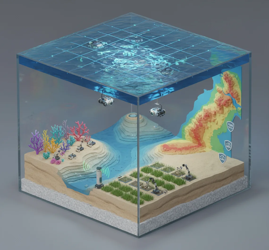
Hydrographic Mapping for Design
Dredging, construction, and environmental planning are guided by maps created from depth and contour measurements.

Feasibility and Risk Assessments
By highlighting possible design issues, bathymetric data assists clients in cutting expenses and preventing construction delays.

Integrated Survey Solutions
To provide clients with a comprehensive view of their project site, we integrate biological and habitat surveys with bathymetric data.
Bathymetric Surveying Specialists in Florida
Ocean Consulting has decades of experience in Florida’s waterways and offers trustworthy bathymetric surveying services in coastal zones, bays, and harbours. When paired with the latest technologies, our knowledge of local conditions guarantees that every survey is precise, compliant with regulations, and customised to meet project requirements. Our team produces results that support safe, sustainable, and economical designs for everything from small waterfront properties to large-scale developments.